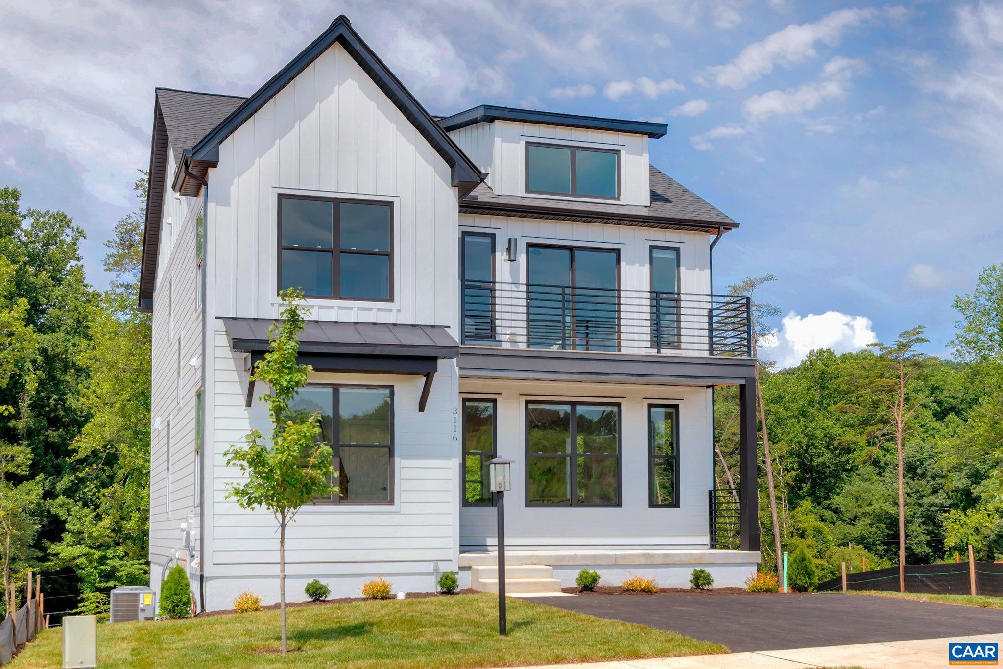
Welcome to Southside
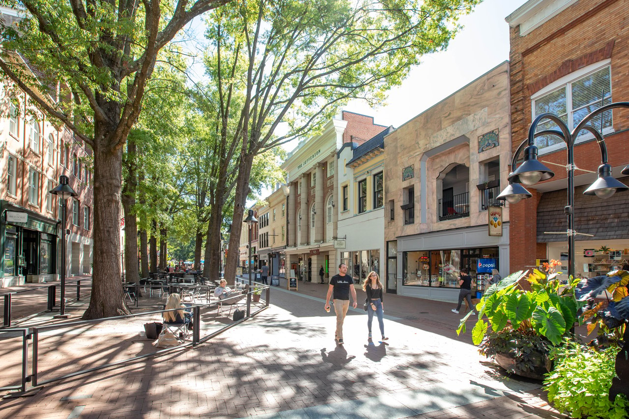
Stretching south of the Downtown Mall and UVA, Southside offers a mix of established neighborhoods, newer communities, and easy access to shopping, dining, and major roadways. With quick connections to 5th Street Station, I-64, and Route 29, it’s a convenient base for those commuting in and around Charlottesville.
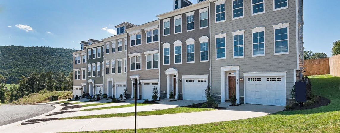
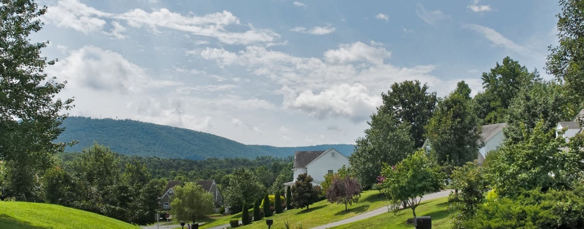
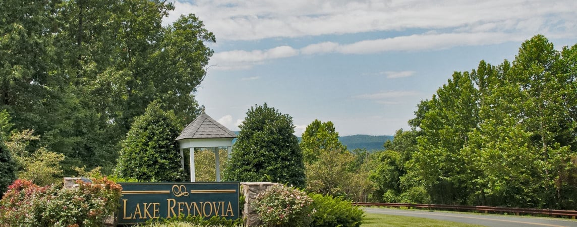
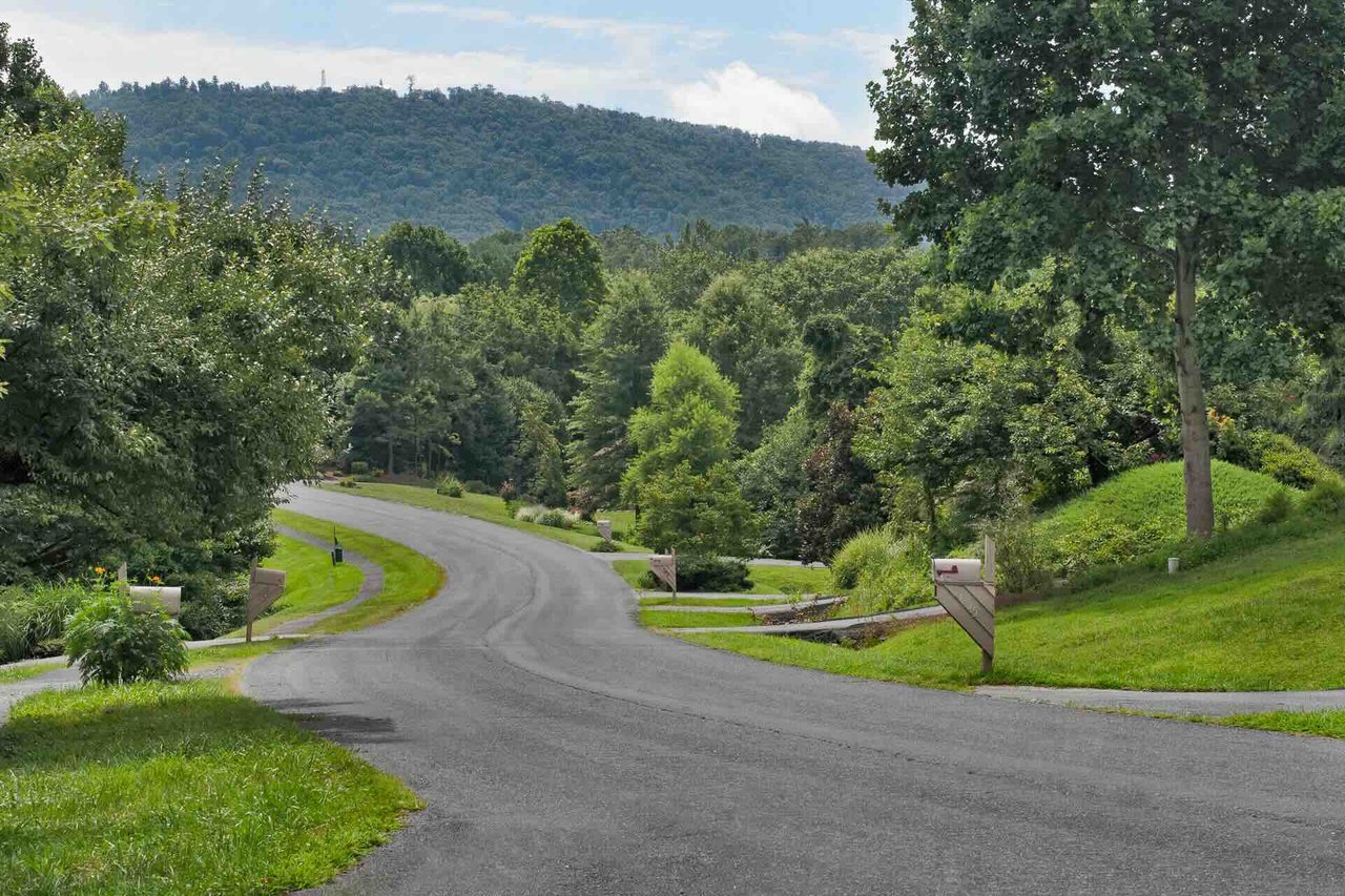
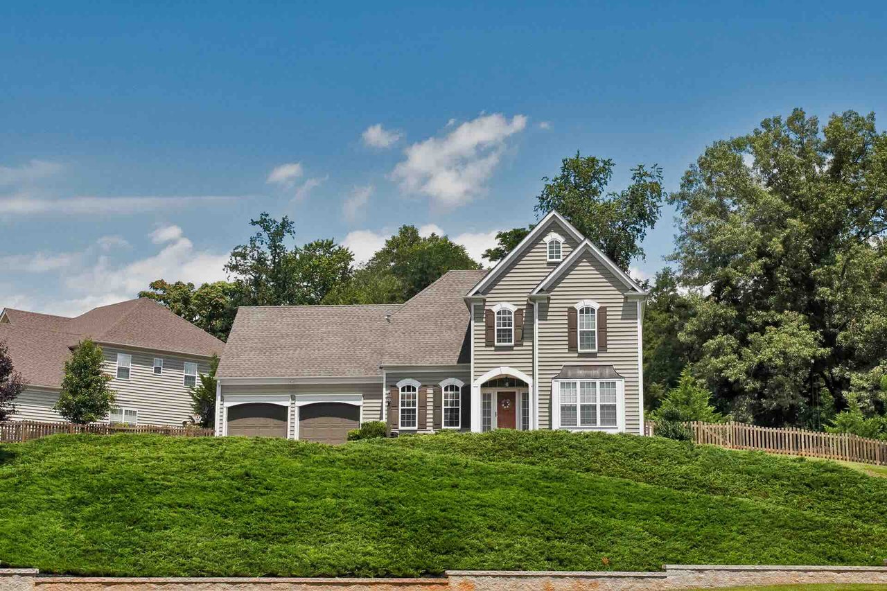
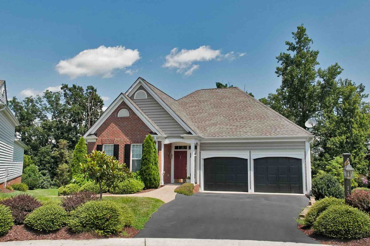
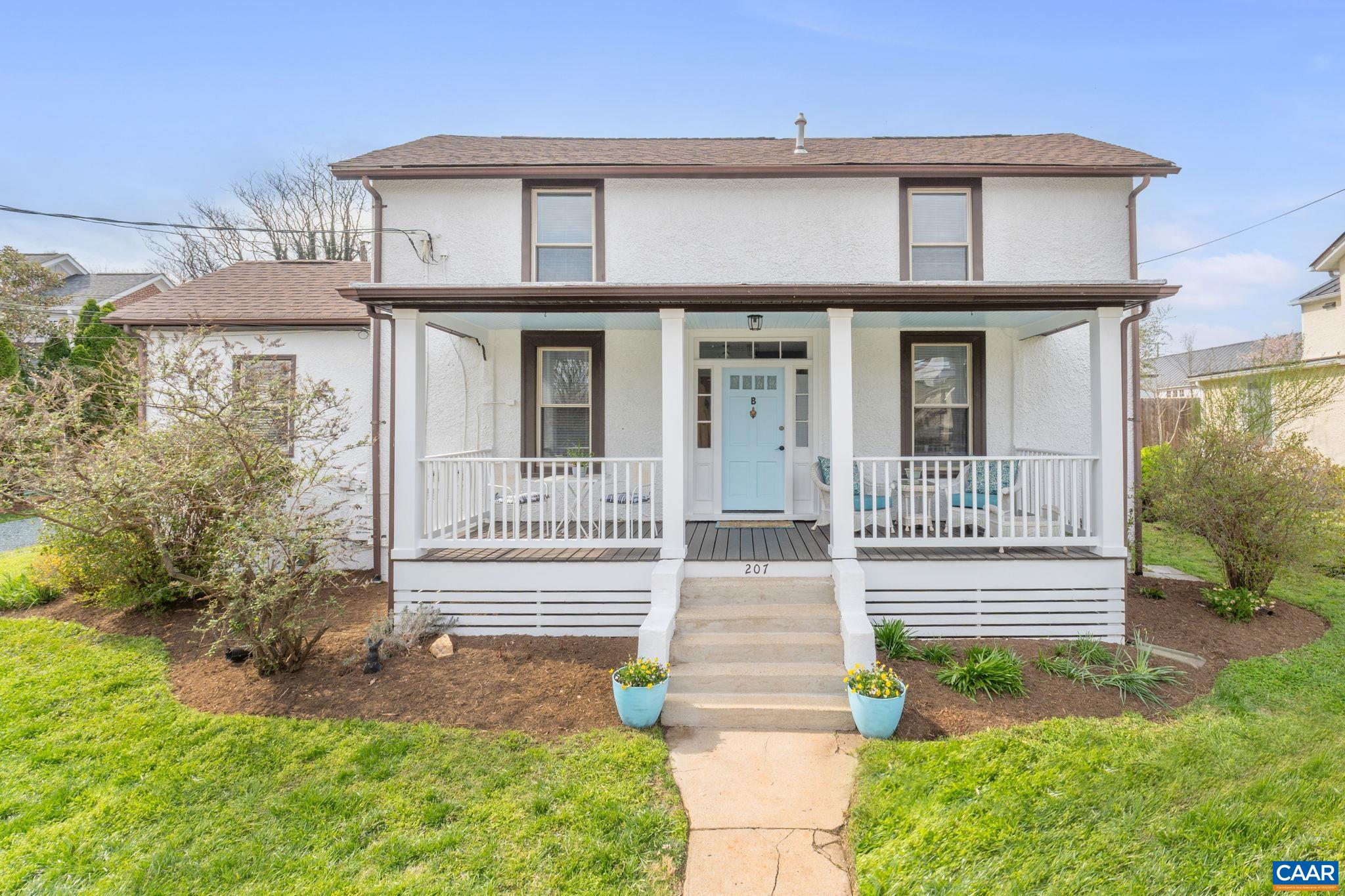
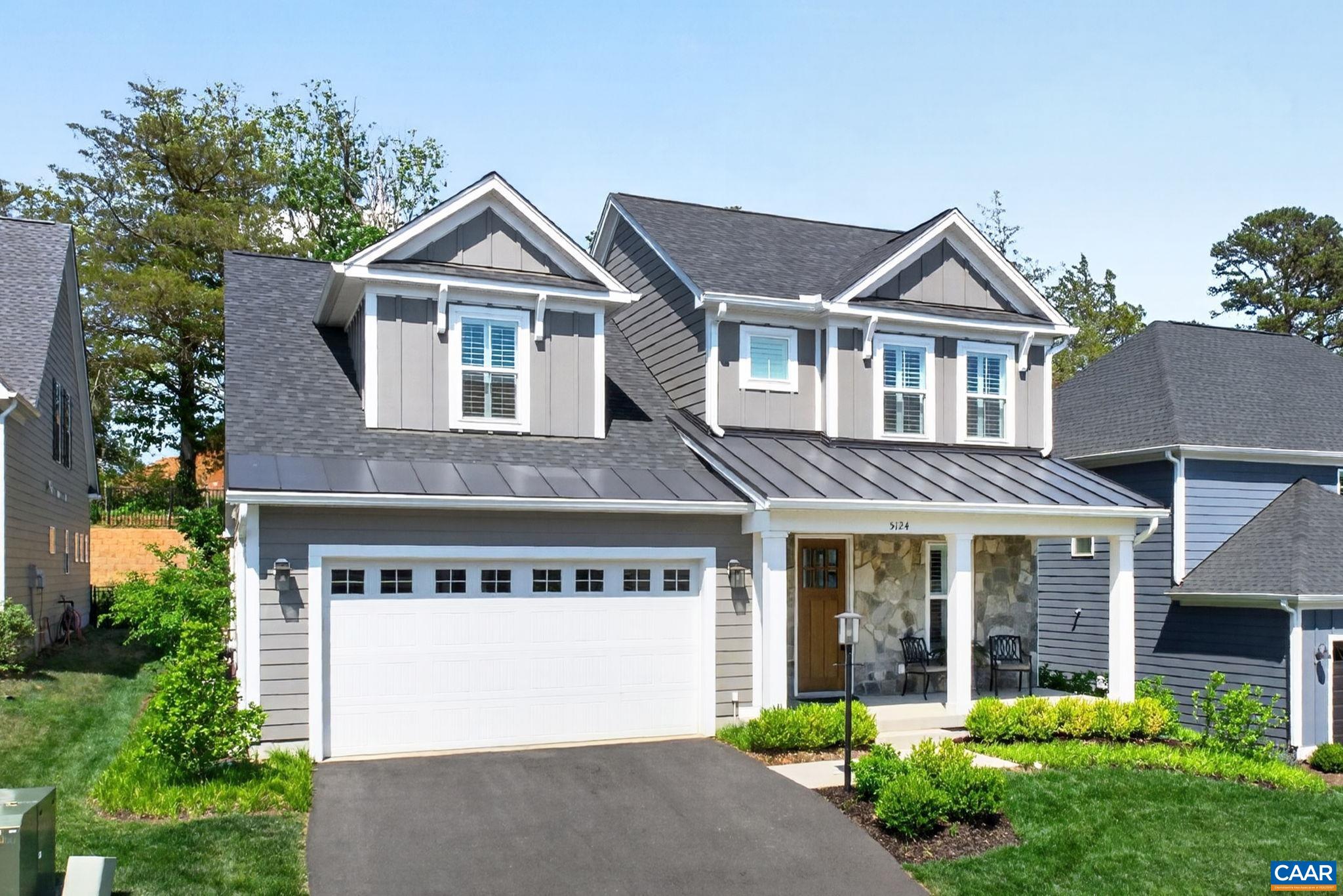
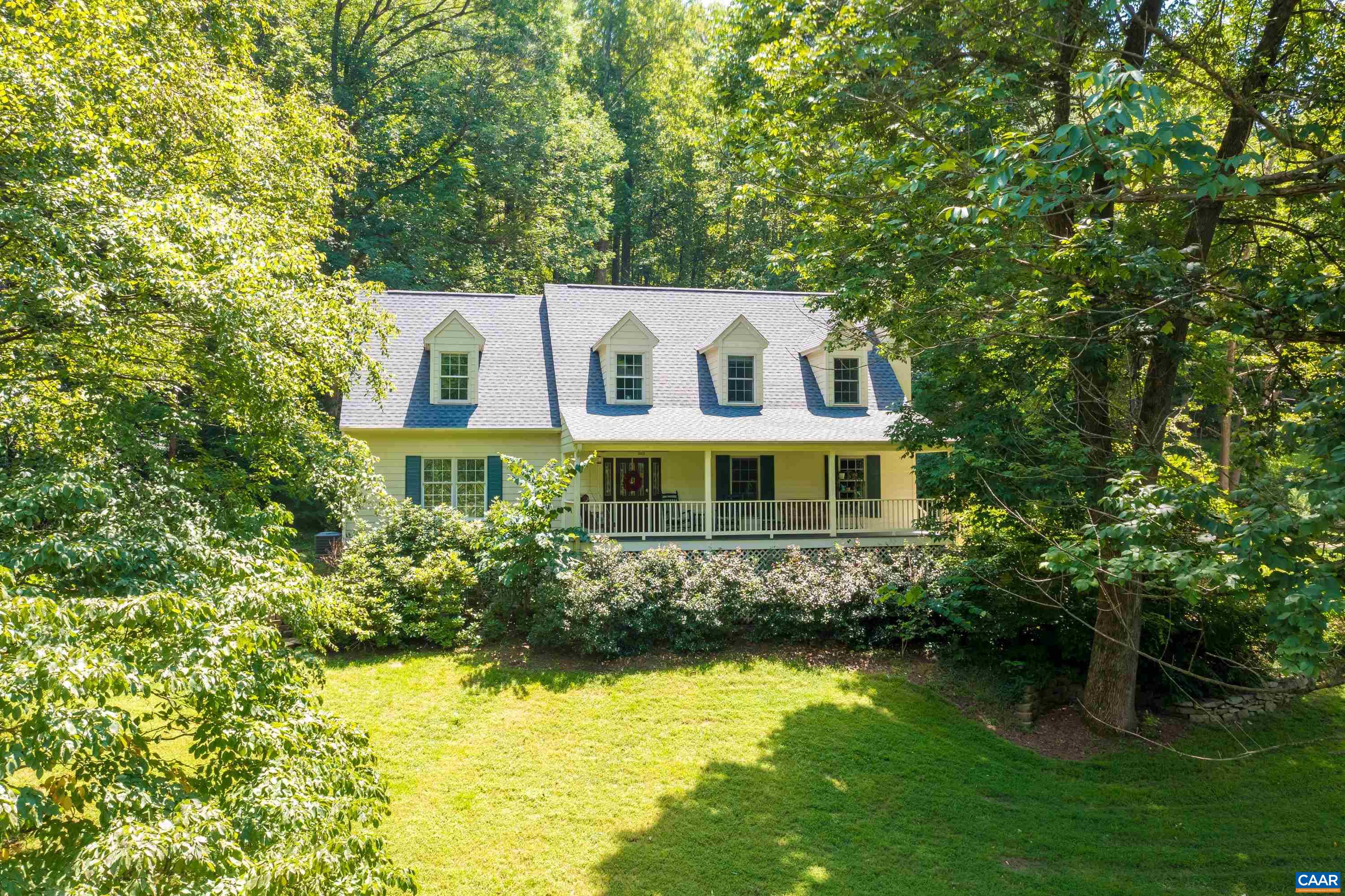
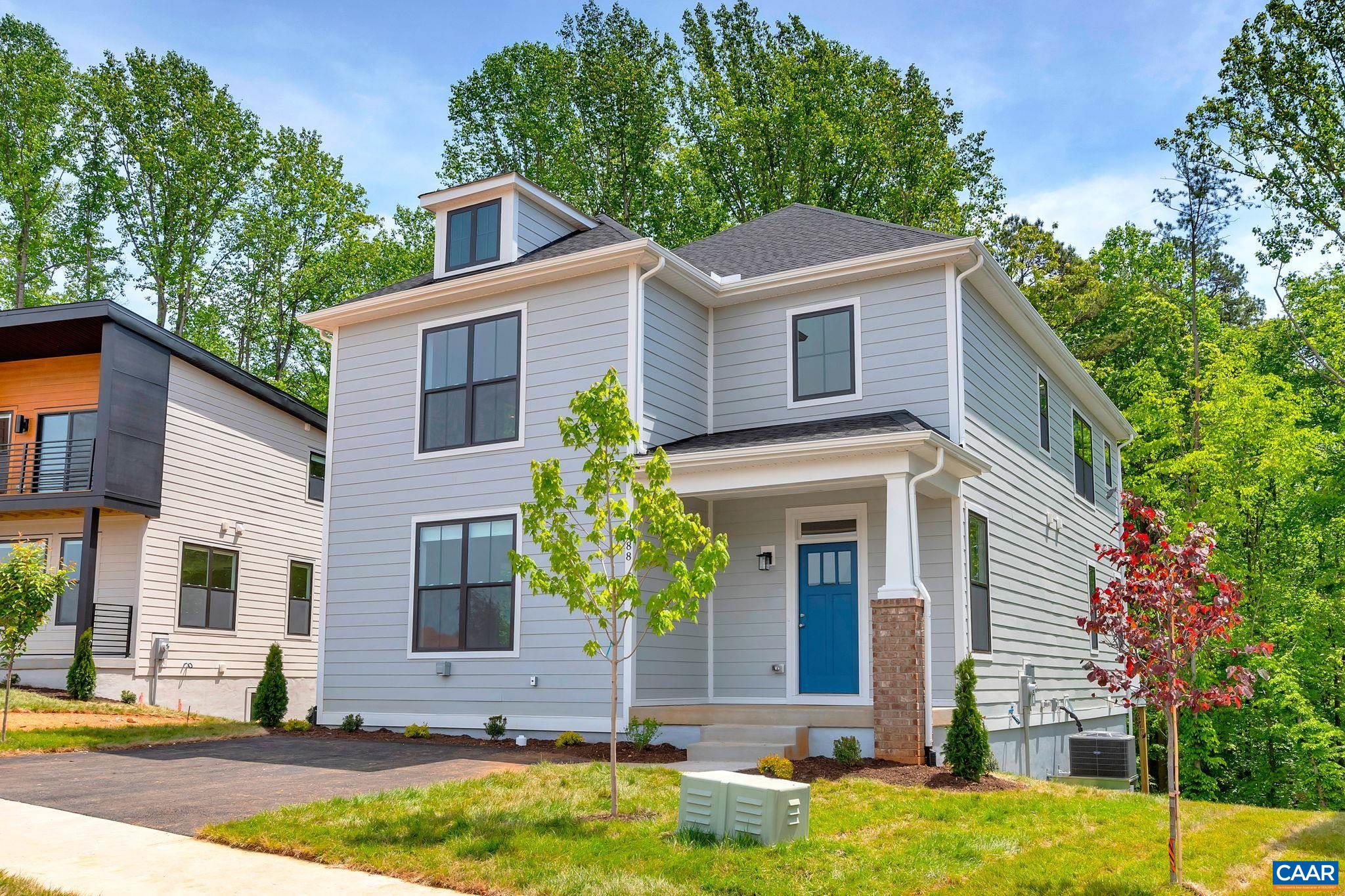
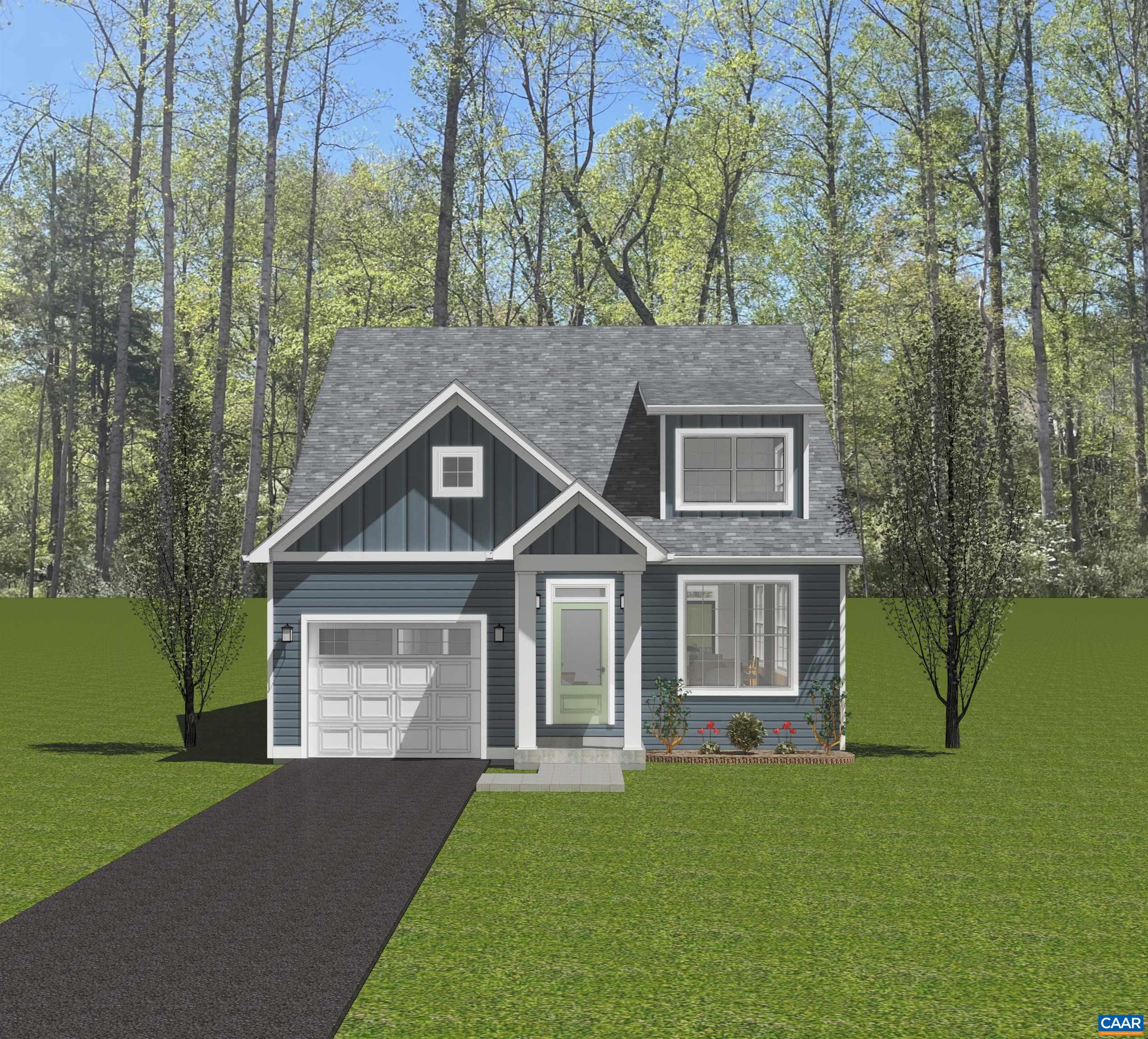
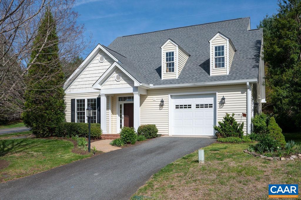
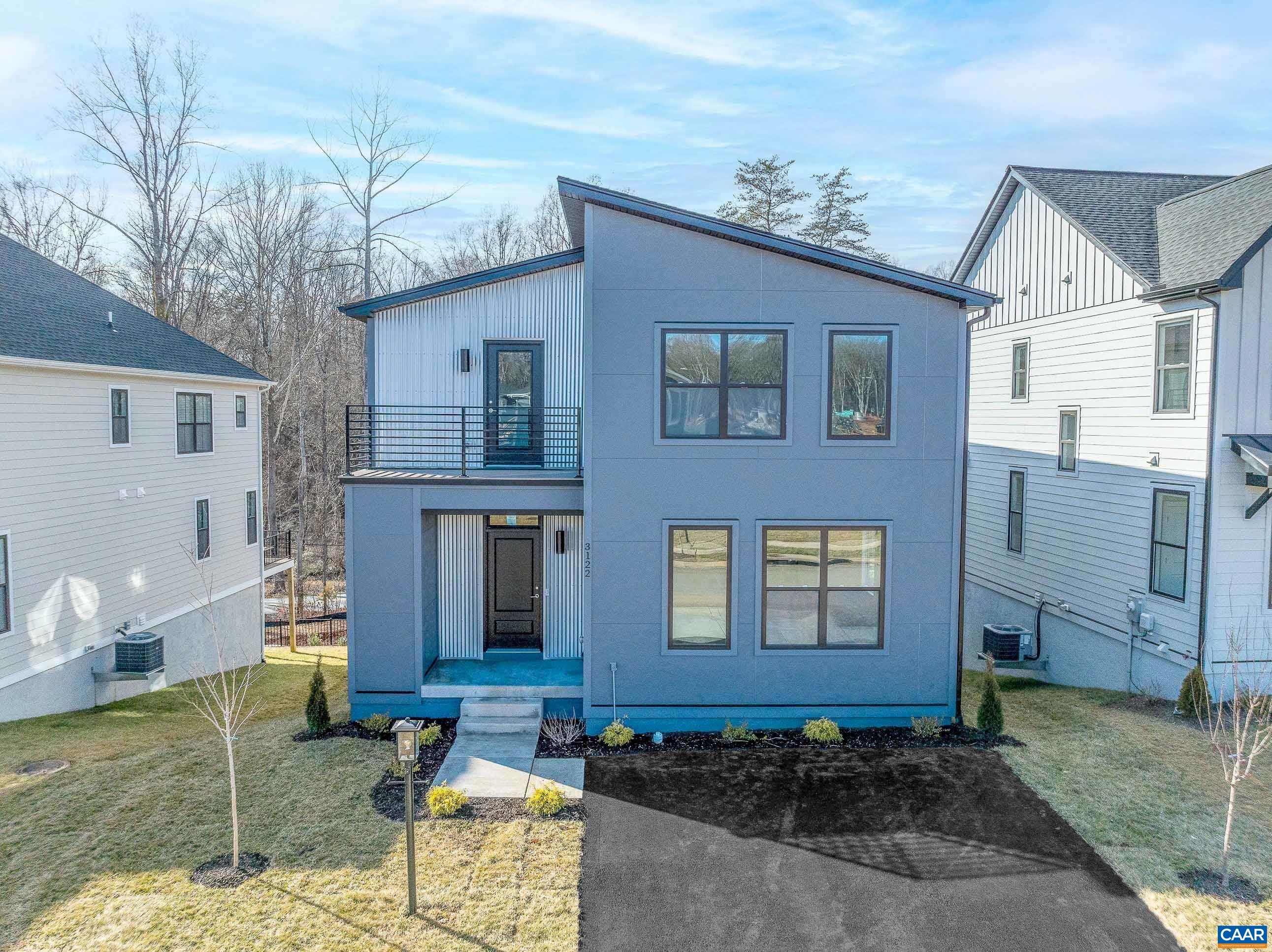
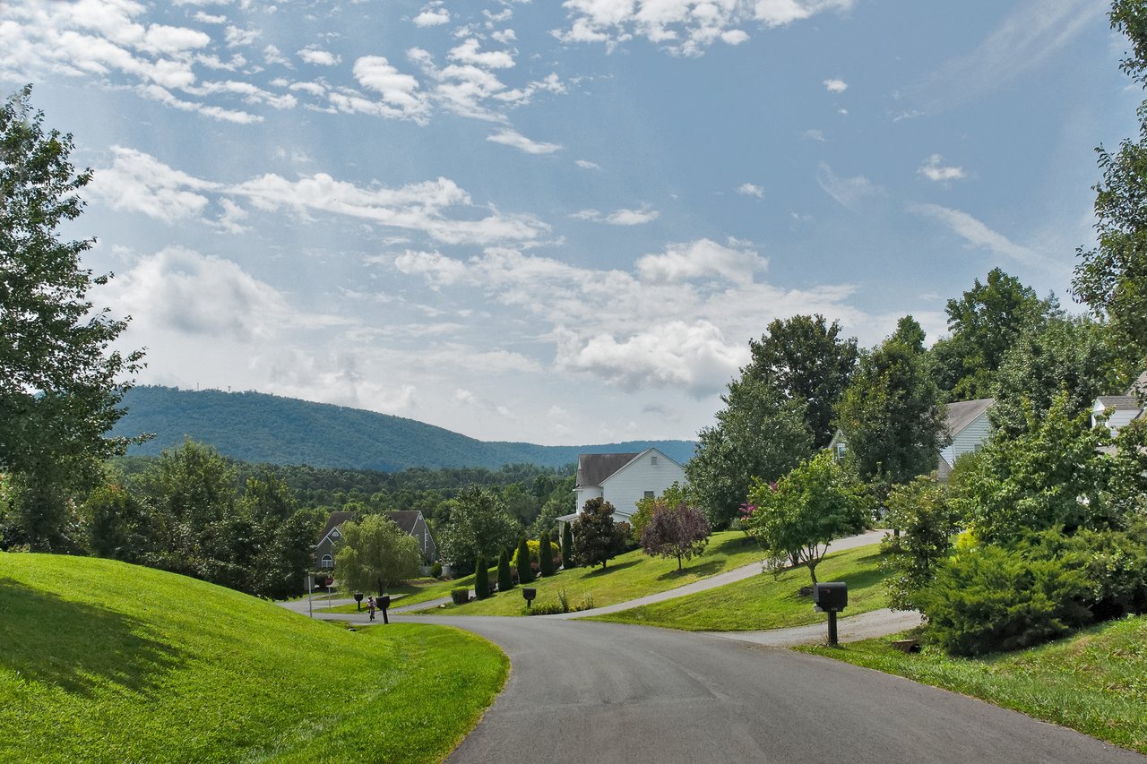
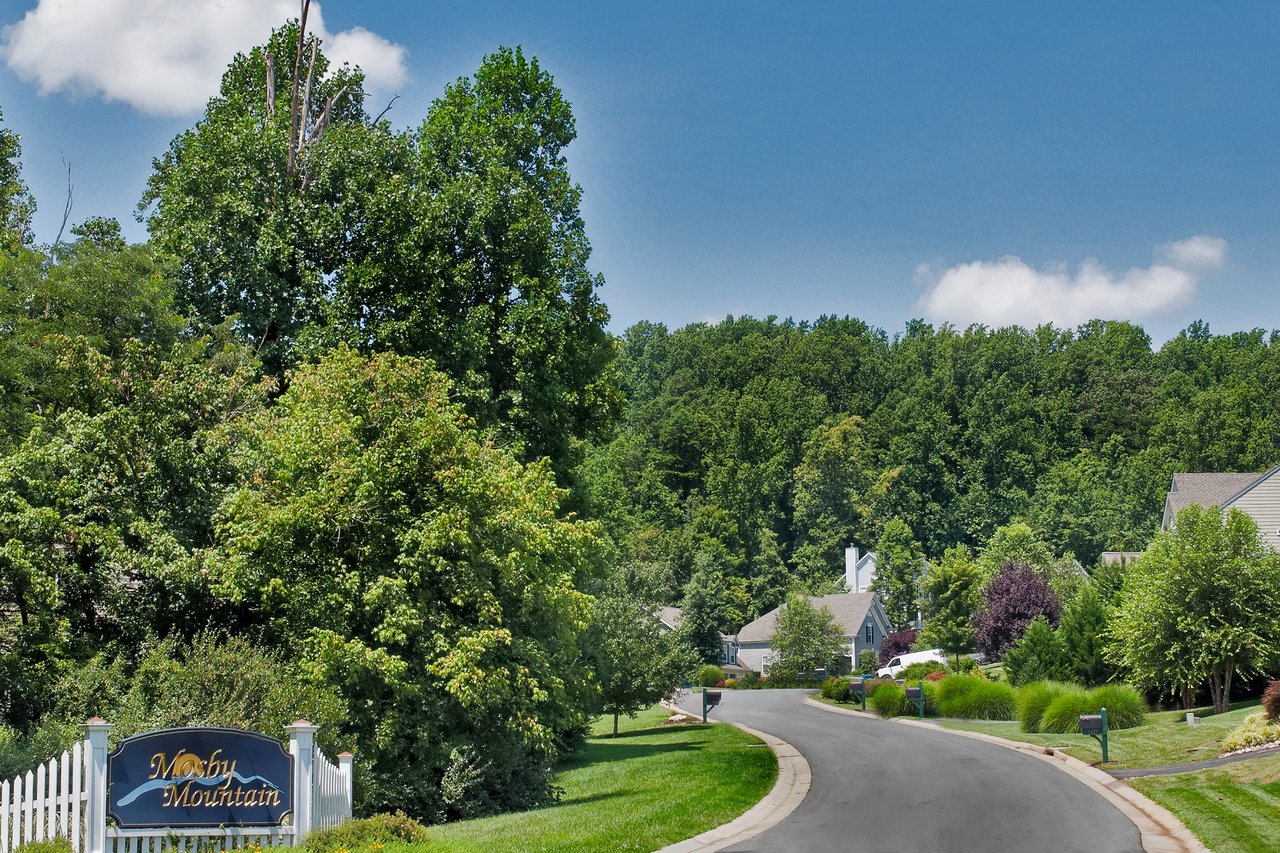
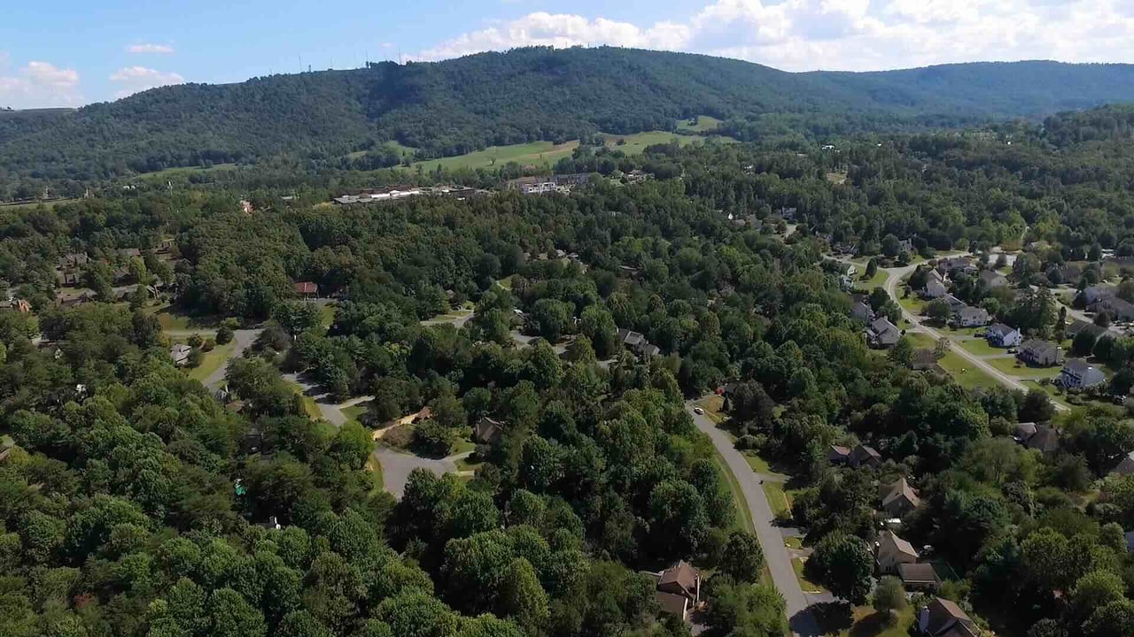
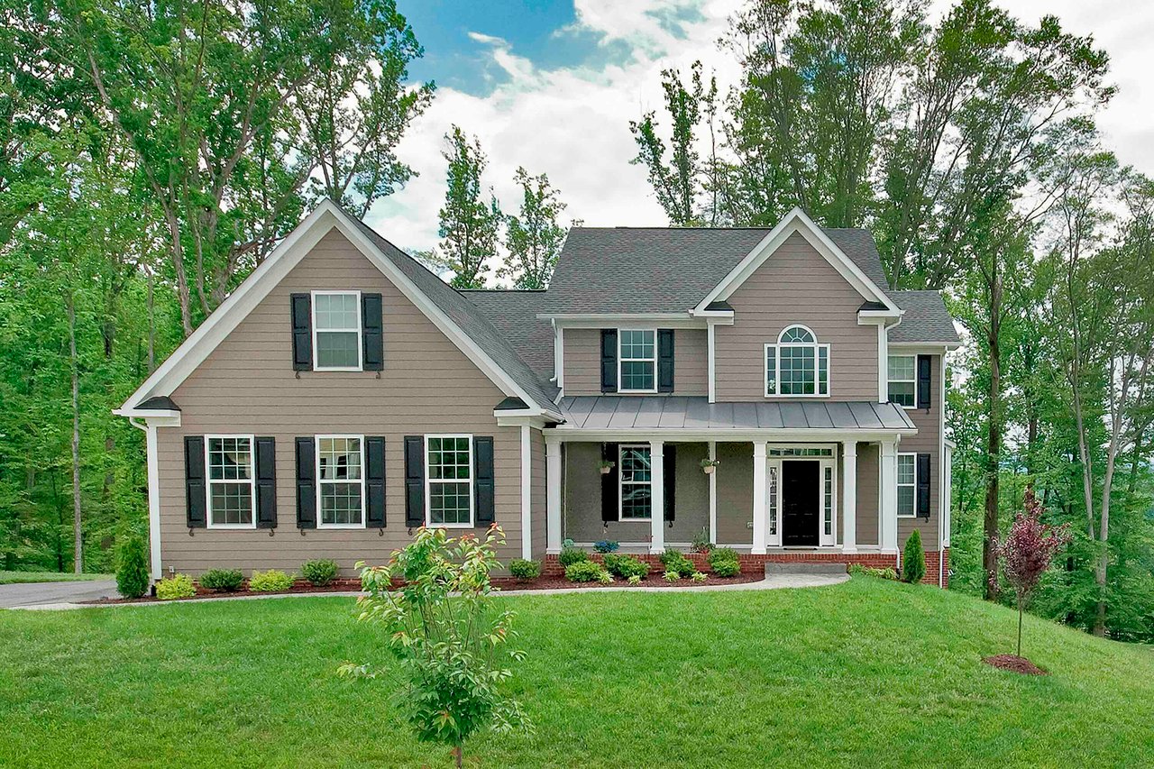
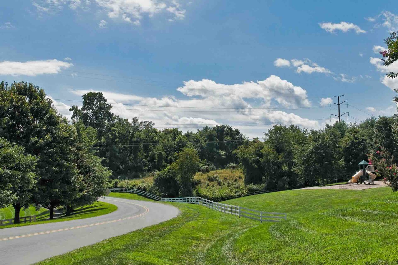
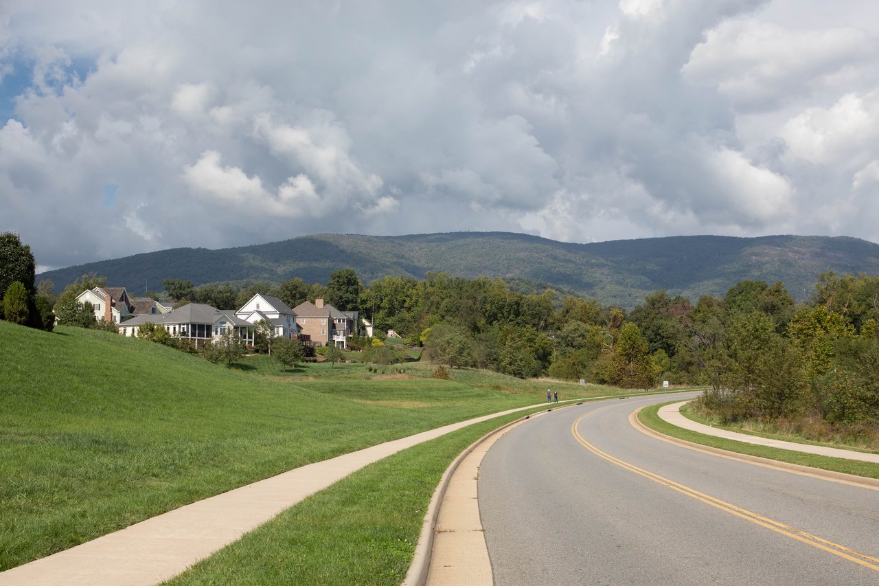
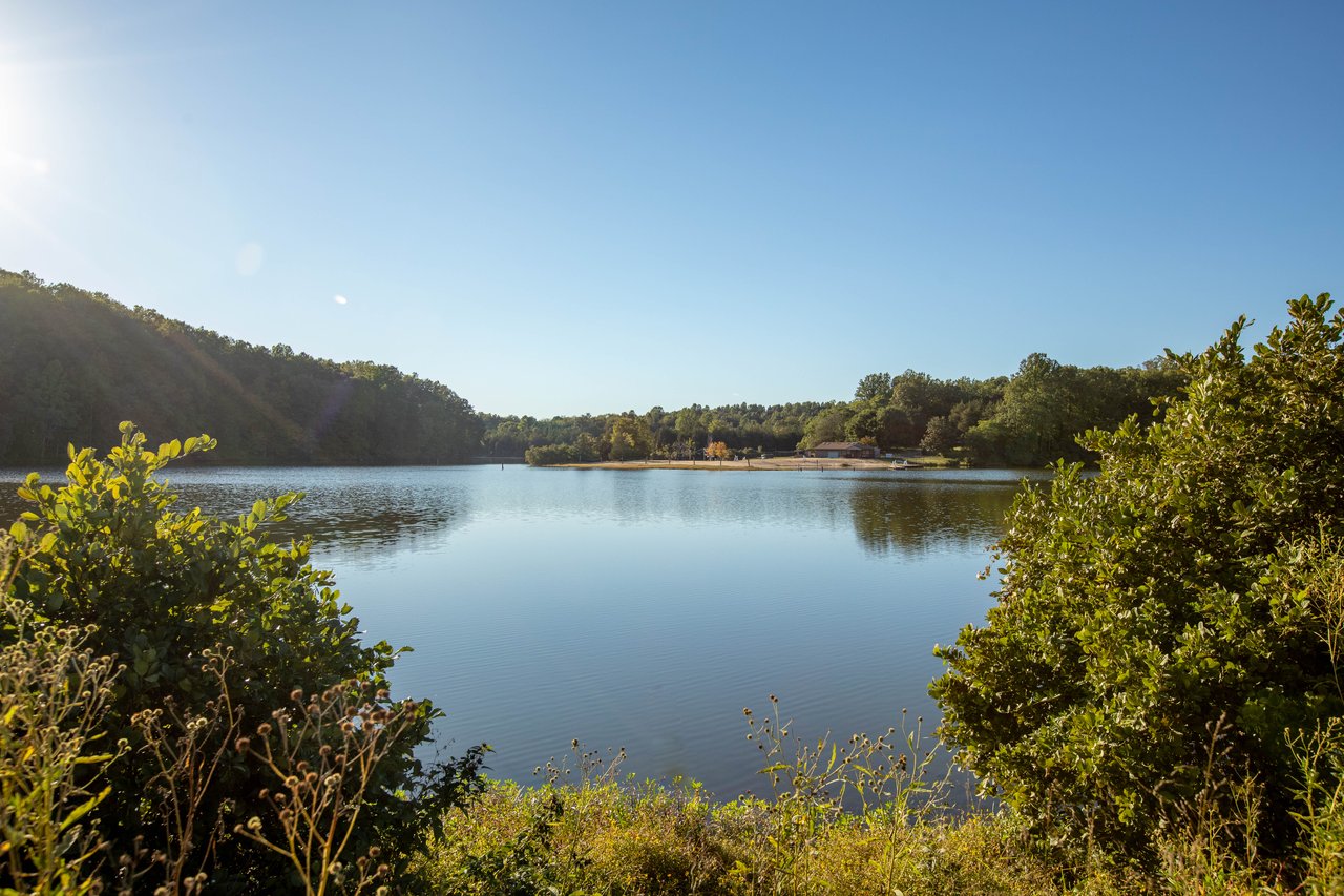
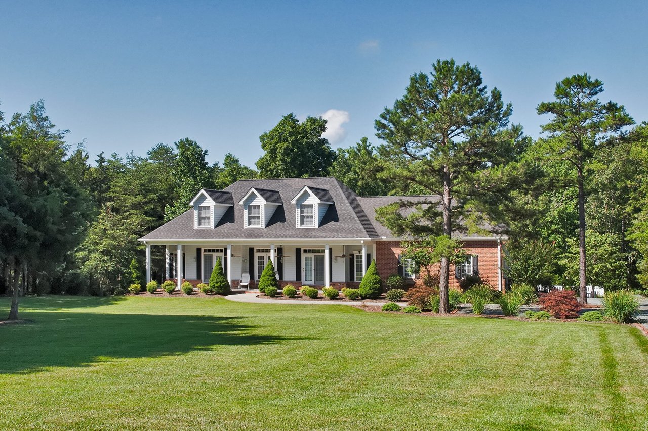
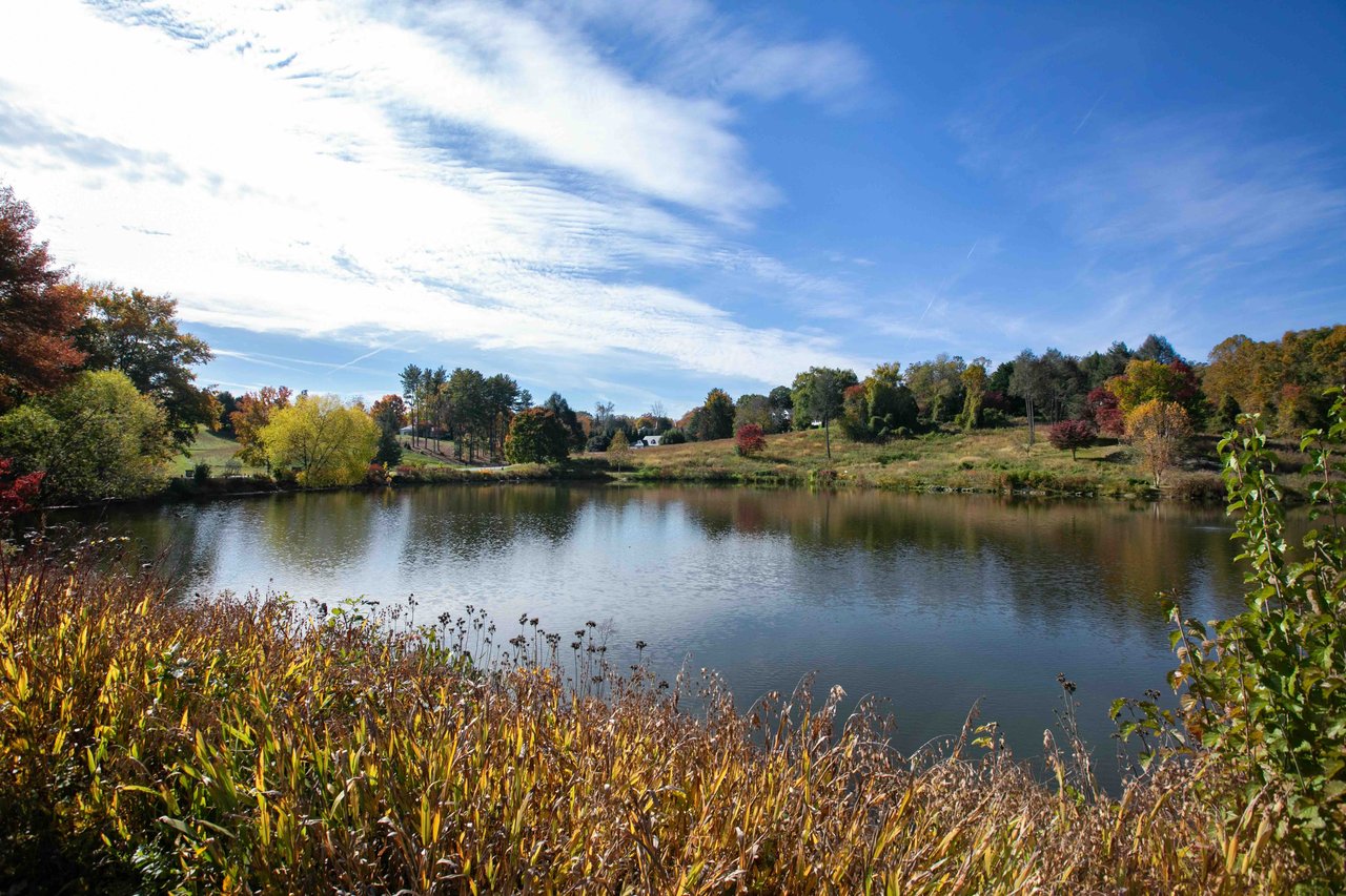
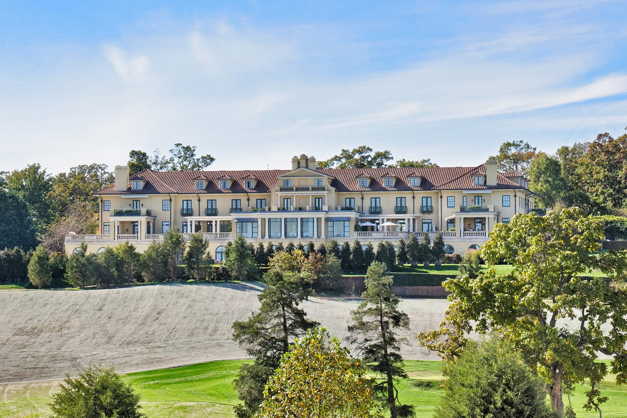
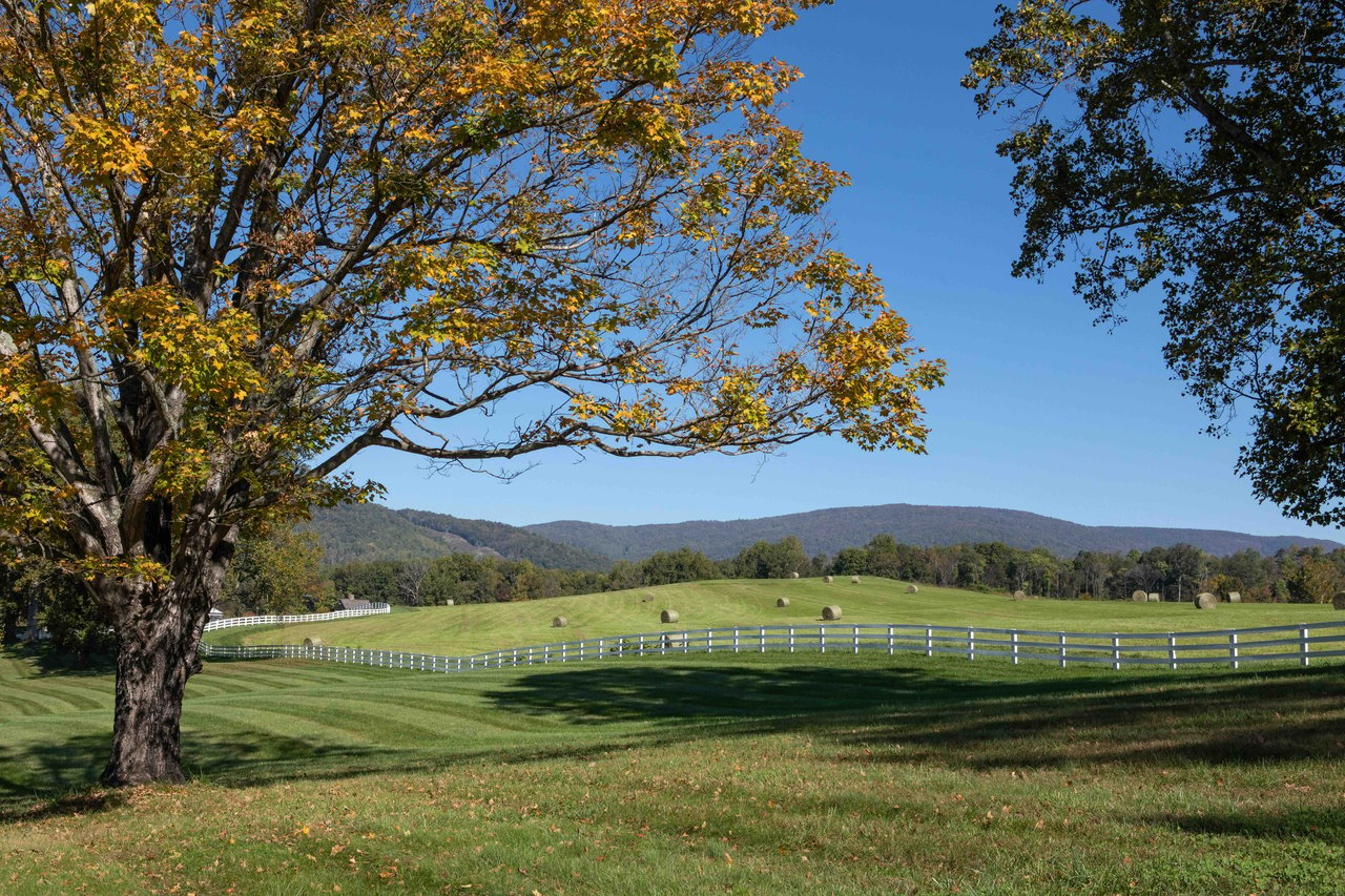
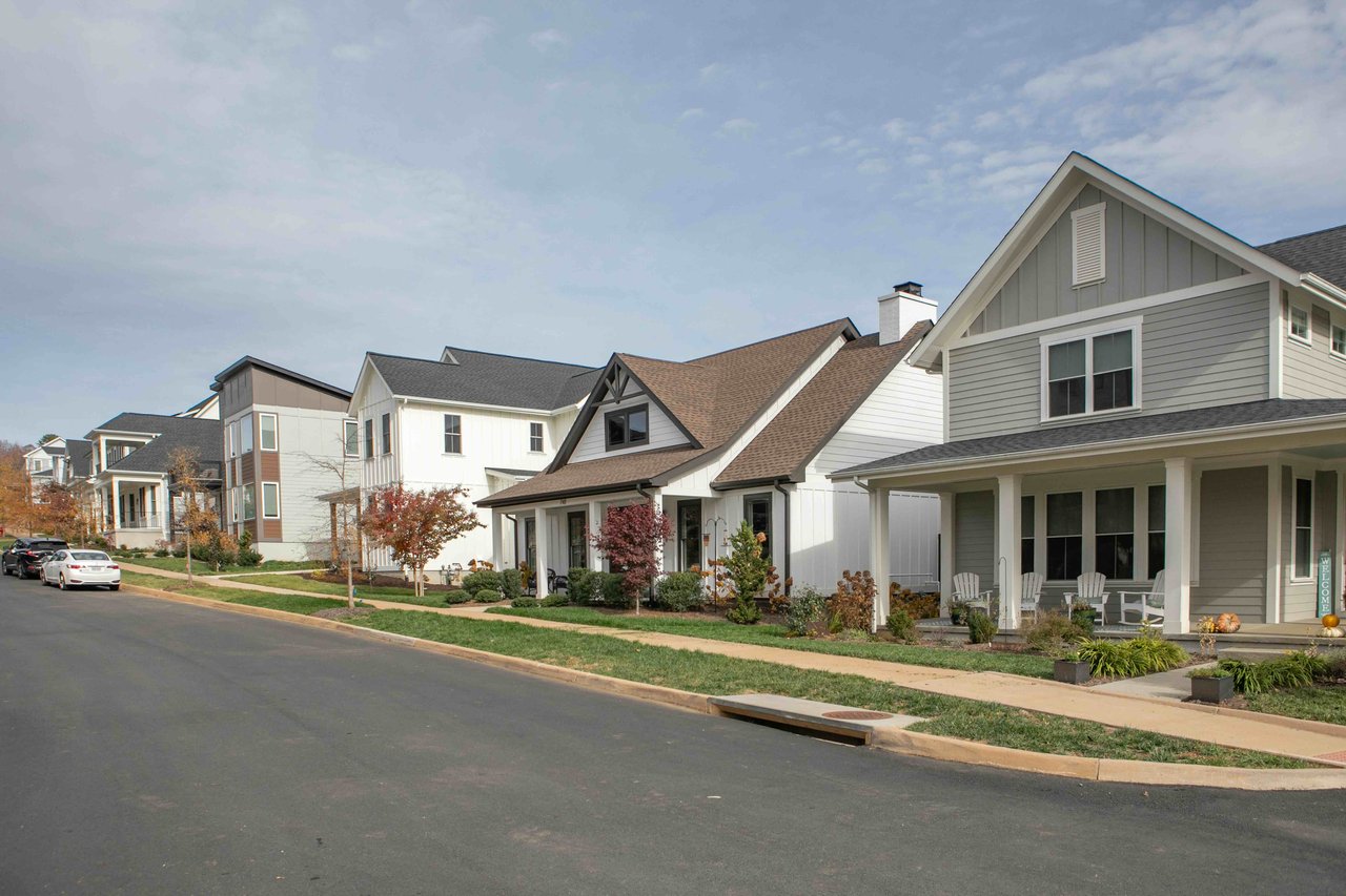
Southside blends quiet residential areas with plenty of amenities close by. Neighborhoods like Mill Creek, Mosby Mountain, and Redfields offer a range of housing styles and price points, all just minutes from downtown. Outdoor enthusiasts appreciate proximity to the Monticello Trail, the Rivanna Trail, and nearby mountain views, while everyday needs are covered with local shops, groceries, and restaurants.
For those seeking space, convenience, and accessibility, Southside strikes a balance between residential comfort and easy access to everything Charlottesville has to offer.
Key Features

Quick Drive To UVa: With some points just a few miles from UVa, Southside is a popular spot for medical residents, graduate students, or anyone looking to be close to Downtown and UVa.
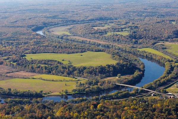
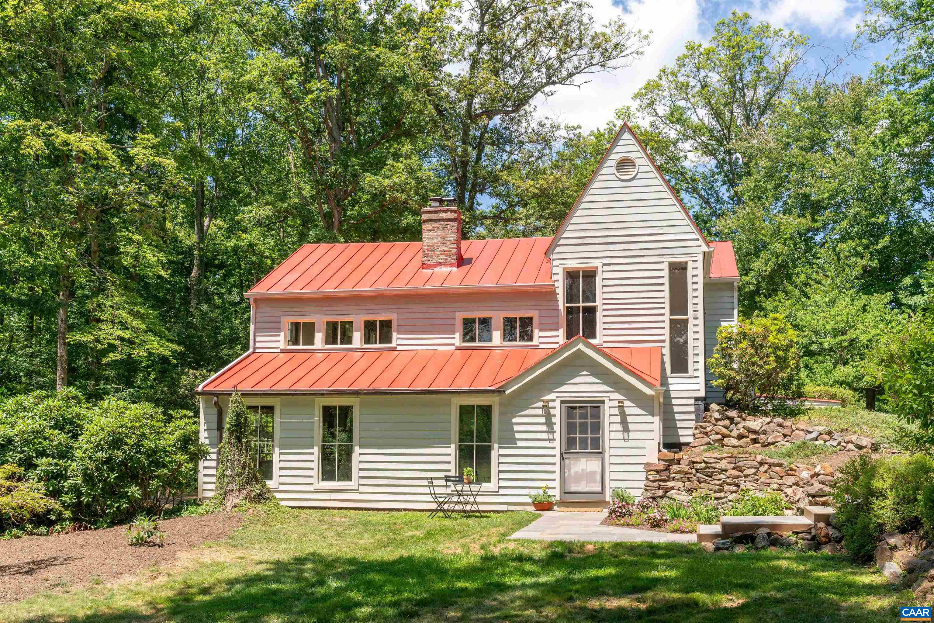
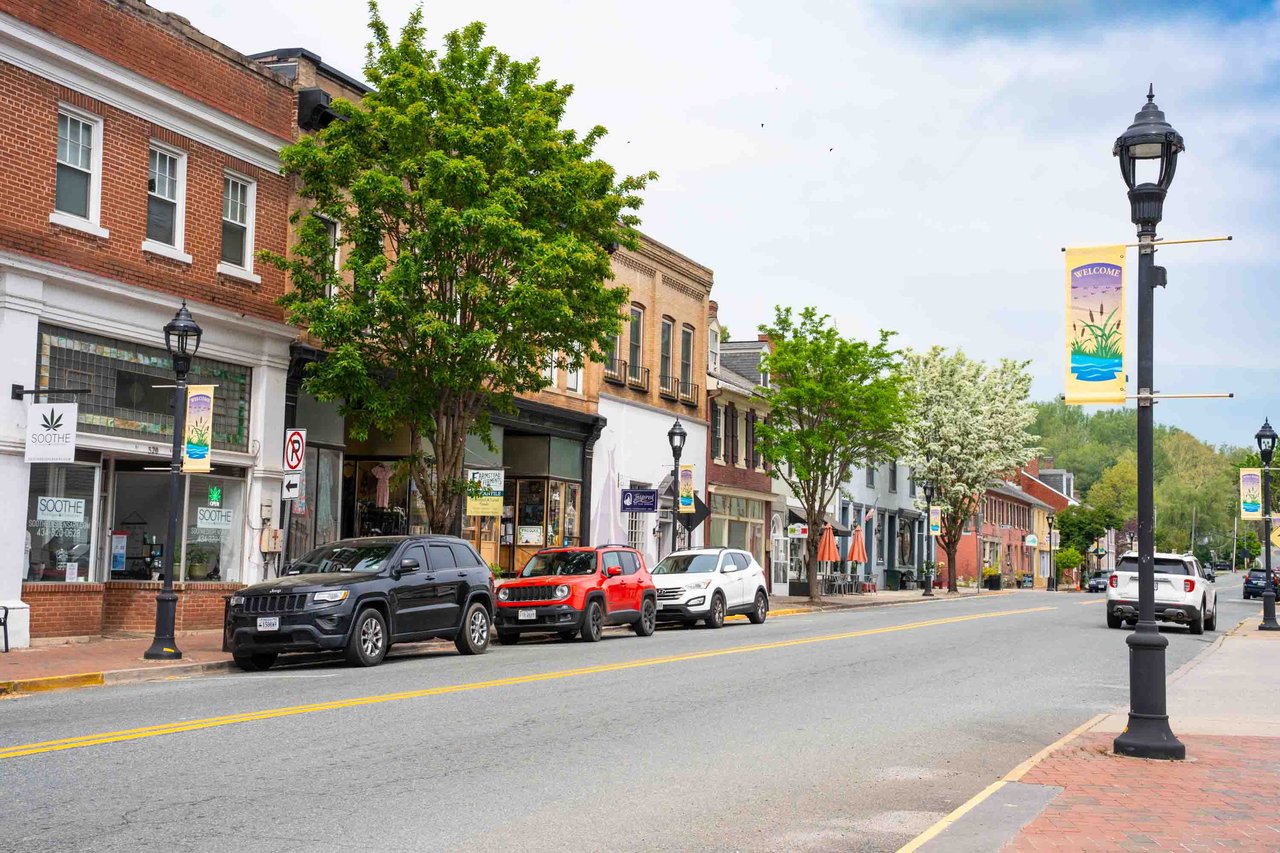
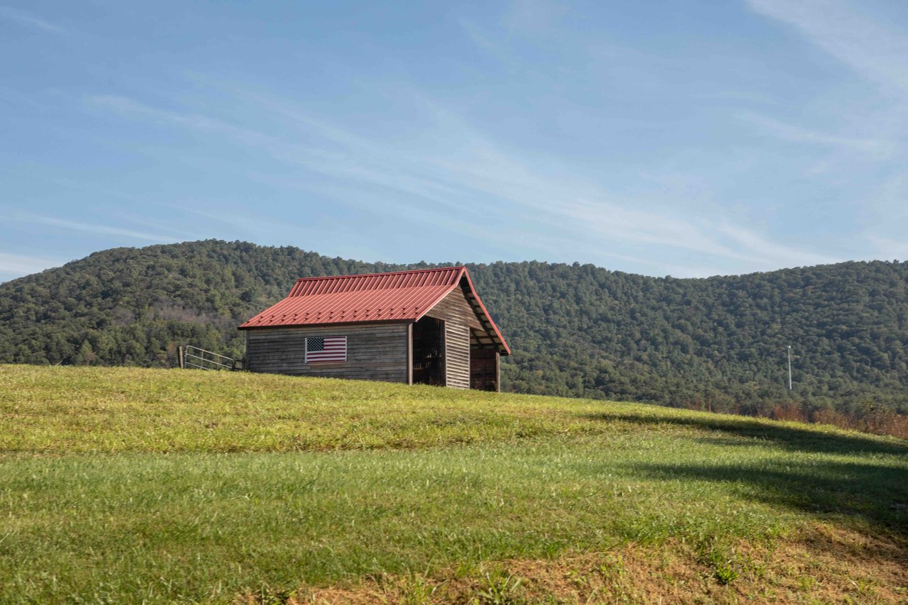
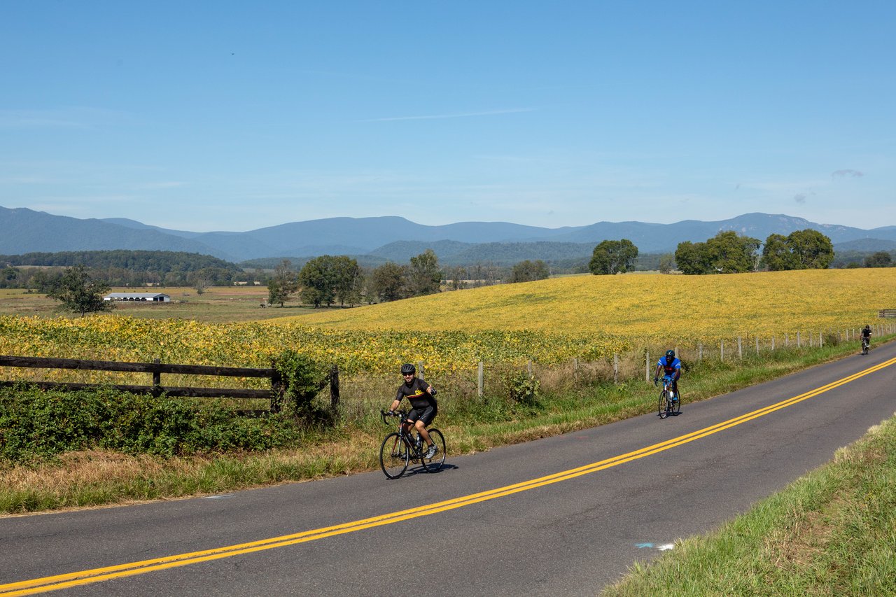
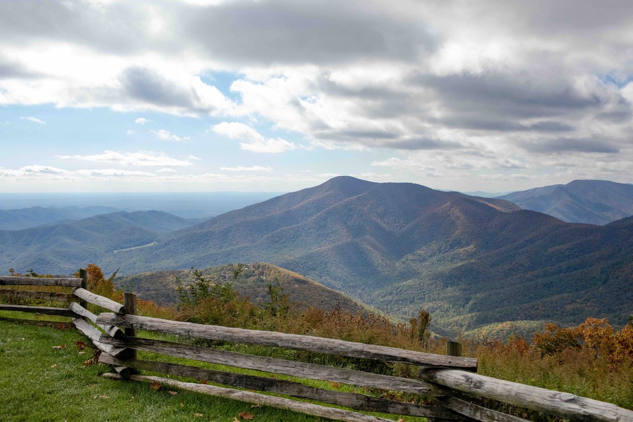
Scottsville: The further south you venture, the more rural and more spectacular the views become. The Town of Scottsville is vintage Virginia countryside with mountain views and access to the river.
Nest Picks
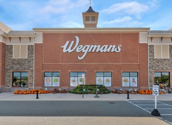
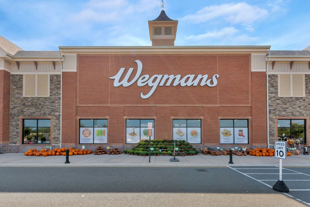
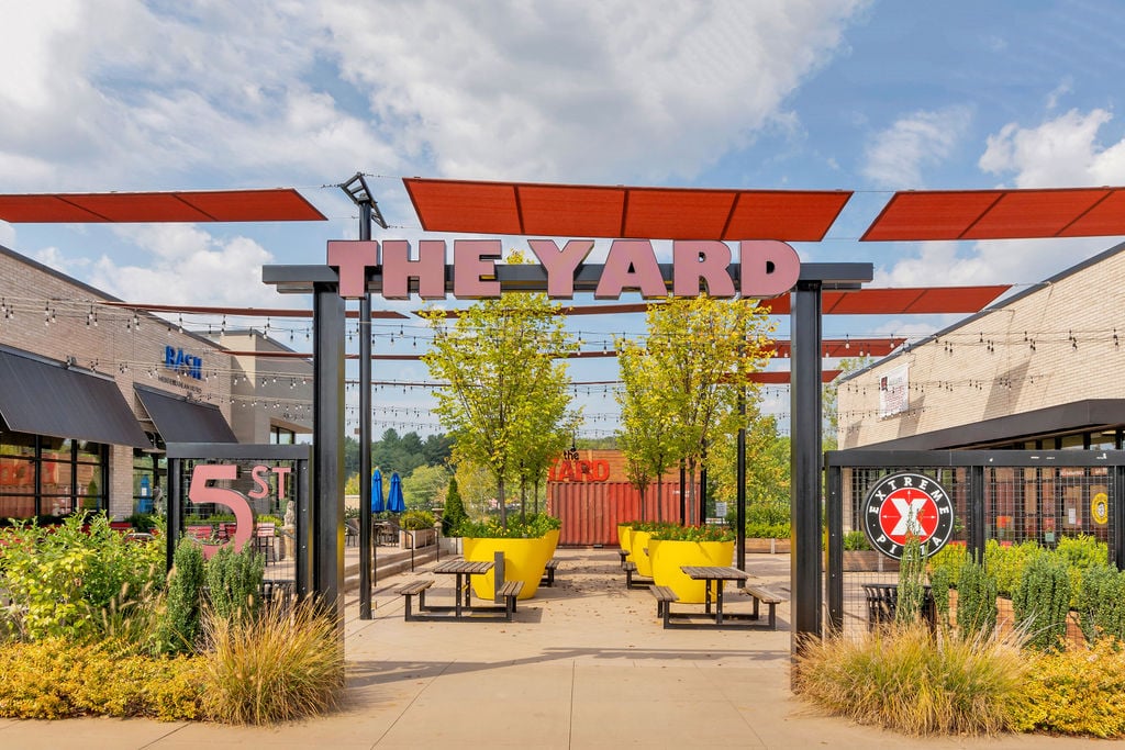
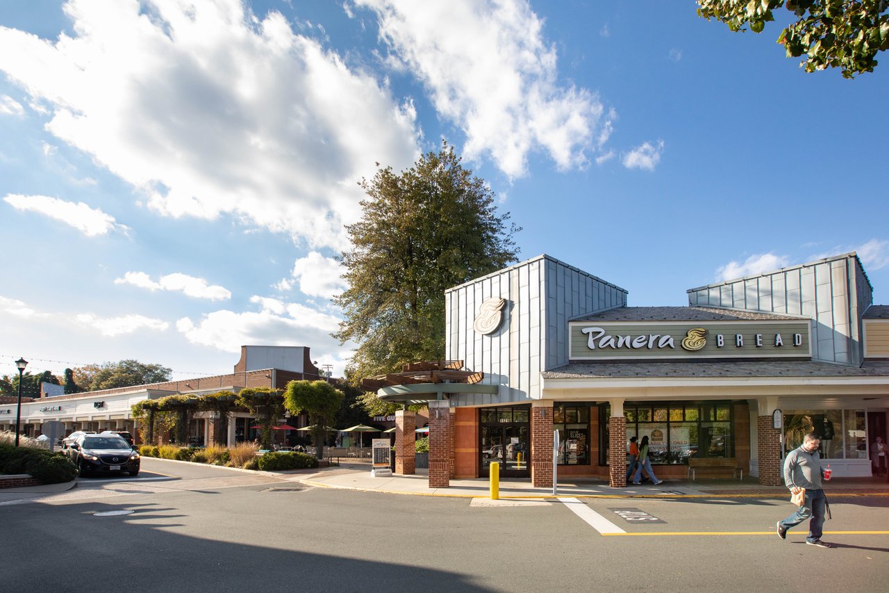
5th Street Station
A shopping and dining hub south of downtown, featuring Wegmans, Alamo Drafthouse, and local favorites.
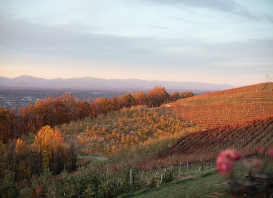
Carter's Mountain
A local favorite for apple picking, peach orchards, and sweeping views of Charlottesville.
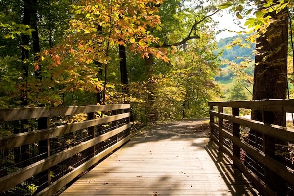
Monticello Trail
A wooded trail connecting downtown Charlottesville with Jefferson’s Monticello, perfect for walking, jogging, or biking.